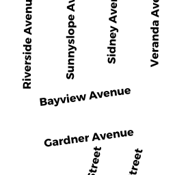
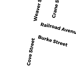
10 WEAVER STREET
Owner Information
TODD RICHARD & RACHELLE TE
10 WEAVER STREET
SWANSEA, MA 02777


Property Details
10 WEAVER STREET is classified as a Single Family Residential (Cape cod).
The primary structure on this property was built in 1947. There are 2684ft2 of built area within this property. There is 1488ft2 of residential/living space within this property. This property is listed as having 6 rooms.
10 WEAVER STREET is valued at 274000. The land is valued at 107400 and the structures are valued at 164100. There is an additional valuation of 2500 on this property.
This property is in Zone R1. Confirm with local Zoning Board authorities to ensure there are no overlays or other easements on this property.
The most recent deed for 10 WEAVER STREET is recorded at the local registrar in Book 9727, Page 0085. 10 WEAVER STREET was last sold on 2019-03-18 for 265000.
Assessment data from fiscal year 2021.
Flood Data
This property is partially within the AE Zone (within floodplain). Approximately 0.05 acres (21.74%) of the property is within this zone.
The base flood elevation for this flood zone is 15 feet.
This information is sourced from the FEMA National Flood Hazard Layer. See our full disclamer.
Broadband Internet Providers
| Provider | Type | Bandwidth (mbps) | |
|---|---|---|---|
| T-Mobile | Fixed Wireless | 25 | 3 |
| VSAT Systems, LLC. | Satellite | 2 | 1 |
| Comcast | Cable | 1000 | 35 |
| Verizon New England Inc. | DSL | 5 | 0 |
| Viasat Inc | Satellite | 100 | 3 |
| HughesNet | Satellite | 25 | 3 |
| GCI Communication Corp. | Satellite | 0 | 0 |
Broadband service provider data from December 2020.